" height="64px" id="i9I9GKh8_" transform="translate(32.22 30.5)" width="485.43000854492186px"/></svg>)
" width="227.59999999977651px"><path d="M 0 110.35 L 0 0 L 227.59 0 L 227.59 110.35 Z" fill="transparent" height="110.35000000000001px" id="UHnqVXtW5" transform="translate(0.01 0)" width="227.59000000000003px"/><path d="M 80.16 83.58 L 53.37 110.34 L 0 110.34 L 80.16 30.28 Z M 227.59 110.34 L 163.83 110.34 L 163.83 83.83 L 137.29 110.34 L 80.16 110.34 L 80.16 83.58 L 163.83 0 Z" fill="rgb(255, 255, 255)" height="110.34000068664551px" id="zuVBdG1cJ" transform="translate(0 0)" width="227.59000366210938px"/></g></svg>)


Meridian+ gives you deeper features for bigger journeys, more campsites, topographic maps, offline layers, and total peace of mind.
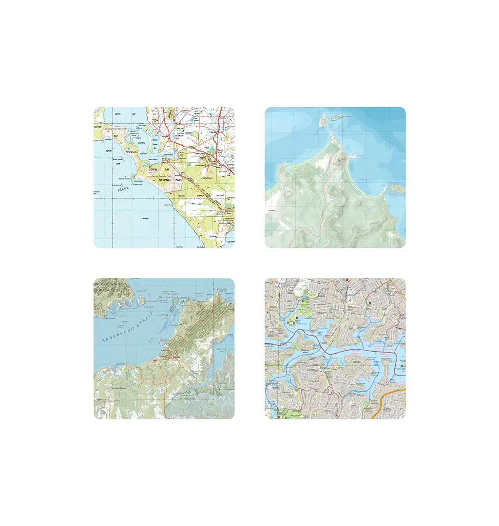
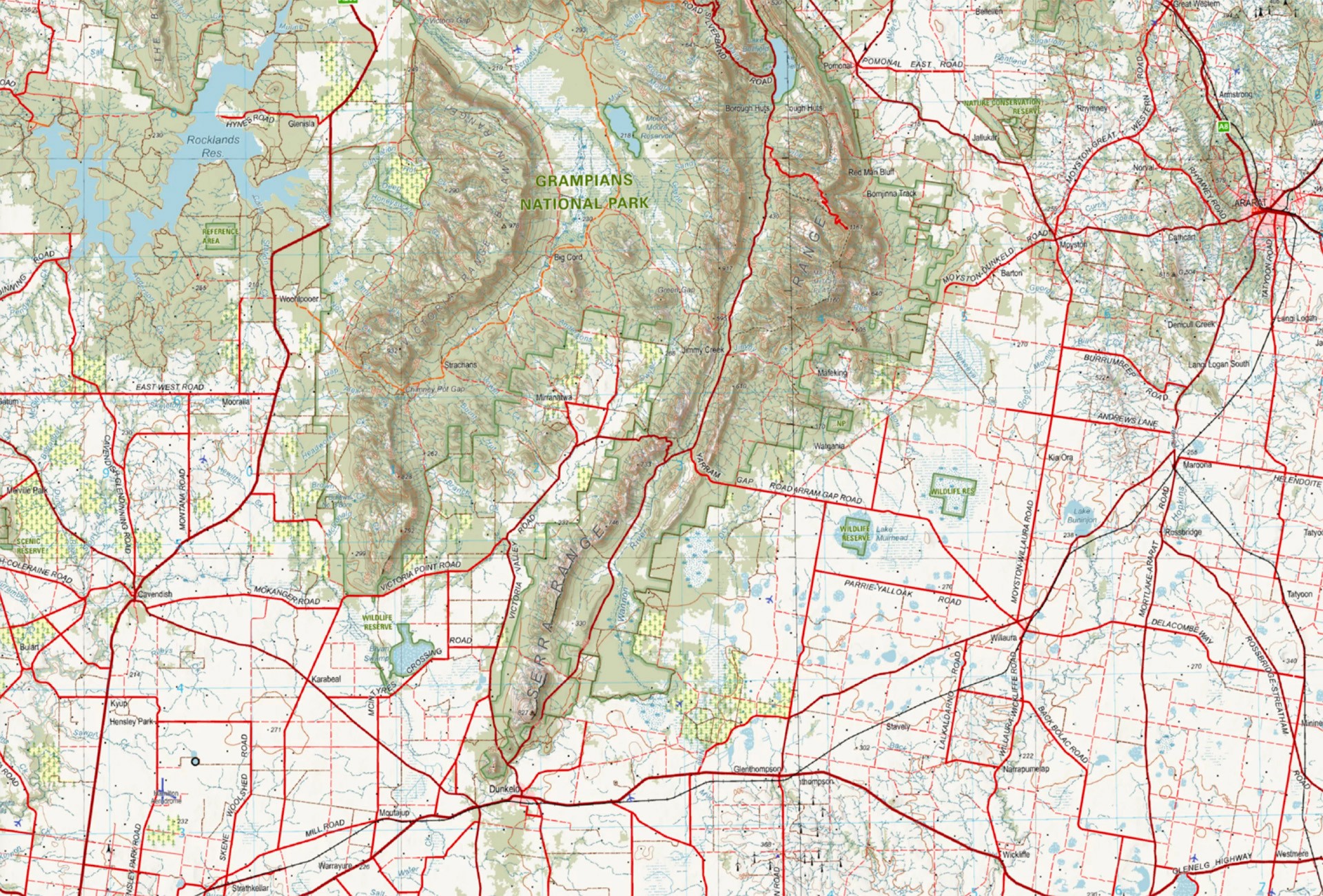
Topographic Maps
Weather Forecasts
500 Saved Campsites
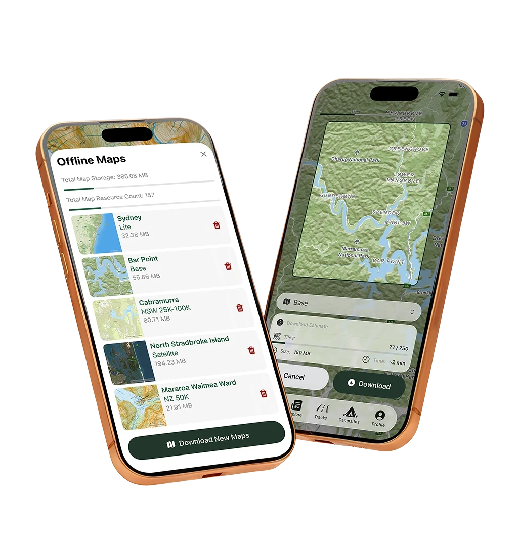
Offline Maps
Selective Sharing
Cloud Sync Backup


Does Meridian work without mobile reception?
Yes. Meridian is designed to remain usable when you have no mobile service. Maps and saved data are stored locally first, allowing you to continue navigating even when connectivity drops out.
How does Meridian handle offline maps?
Offline maps can be downloaded for use without a connection. Because map files can be large, downloads may be capped while this feature is refined.
Who can see my saved locations?
You decide. Locations can be kept private, shared with selected followers, or made public. Meridian does not default to broad sharing.
Where is my data stored?
Your data is saved locally first and synchronised when a connection is available. This prioritises control and usability in low-connectivity environments.
What makes Meridian’s maps different?
Meridian includes topographic maps and overlays designed to support practical navigation. The focus is clarity and function rather than visual noise.
Is Meridian a social network?
No. Meridian is a navigation tool first. While it allows selective sharing, it is not designed as a social media platform or a crowdsourced database of secret locations.
Why does Meridian avoid “hidden gems”?
Meridian is built to support thoughtful exploration, not traffic amplification. Publicising sensitive or lesser-known locations can impact both the environment and local communities. Users decide what to share. Meridian does not promote secret-location discovery as a feature.
Why was Meridian built?
Meridian was built after finding existing tools limiting in both privacy and mapping detail. It is shaped by real-world use, with a focus on reliability and control rather than engagement features.
What's next for Meridian? Explore our development roadmap to see upcoming features. Got an idea? Request a feature.
Track Photos
Planned
Estimated: 2026
Split & Merge Tracks
Planned
Estimated: 2026
Push Notifications
Planned
Estimated: 2026
Track Navigation Mode
Planned
Estimated: 2026
Additional Map Coverage
Planned
Estimated: 2026
iPad Version
Planned
Estimated: 2026
Live Activity for Track Recording
Planned
Estimated: 2026
Profile Customisation
Planned
Estimated: 2026
Android & Web Versions
Planned
Estimated: 2026
BOM Data
Planned
Estimated: 2027
